About
Made in Palo Alto is a local guide to one town on the San Francisco Peninsula: its makers, shops, food, places to stay, history and stories.

What Made In is
Made In is a family of city guides from Good Neighbor, the Bay Area city guide created by Joelle. Each Made In site celebrates one town: the people who grow, bake, brew, paint and build things there, and the places worth a stop. See the Good Neighbor guide.
Made in Palo Alto is built with Bossreach, which gathers the directory and runs the site’s content system, and draws its puzzles from the playbook of Bossfeed.
How the listings are made
The directory starts from public sources: OpenStreetMap, local listings and each business’s own website. Descriptions are short and factual and come from what a business says about itself; review lines are quoted word for word with a link to where they were posted.
Is your business here, missing, or out of date? Use Claim or update this listing on its page, or write to us. Listing is free.
Photo credits
A levee trail beside the water in the Baylands, with the foothills beyond — King of Hearts, CC BY-SA 4.0, via Wikimedia Commons
El Palo Alto, the city’s namesake redwood, beside the Caltrain tracks — Ovinus, CC BY-SA 4.0, via Wikimedia Commons
Looking up the trunk of El Palo Alto from its base — SheepTester, CC0, via Wikimedia Commons
El Palo Alto beside the railroad bridge over San Francisquito Creek — SheepTester, CC0, via Wikimedia Commons
Carleton Watkins’s 1870 photograph of the twin redwoods of Palo Alto — Carleton E. Watkins, CC0, via Wikimedia Commons
El Palo Alto on a postcard of about 1908 — Unknown authorUnknown author, Public domain, via Wikimedia Commons
University Avenue in 1894, looking toward El Palo Alto — J. F. Parkinson, Public domain, via Wikimedia Commons
Spanish Colonial buildings at Hamilton Avenue and Ramona Street downtown — Tomwsulcer, CC0, via Wikimedia Commons
A tree-lined block of downtown shops and a theatre marquee — Tomwsulcer, CC0, via Wikimedia Commons
The Stanford Theatre’s marquee lit up at night on University Avenue — BWChicago, CC BY 2.0, via Wikimedia Commons
The 1925 Spanish Colonial building at 520 Ramona Street — Sanfranman59, CC BY-SA 3.0, via Wikimedia Commons
The arched Spanish Colonial building at 533-541 Ramona Street — Eugene Zelenko, CC BY-SA 4.0, via Wikimedia Commons
The 1941 Streamline Moderne station at the foot of University Avenue — Eugene Zelenko, CC BY-SA 4.0, via Wikimedia Commons
An early postcard of the Palo Alto railroad station — Unknown authorUnknown author, Public domain, via Wikimedia Commons
Lytton Plaza on University Avenue at Emerson Street — BrokenSegue, CC BY-SA 4.0, via Wikimedia Commons
The shingled Sun-bonnet House on Bryant Street in Professorville — Sanfranman59, CC BY-SA 3.0, via Wikimedia Commons
Professor Frank Angell’s house at 1005 Bryant Street — Sanfranman59, CC BY-SA 3.0, via Wikimedia Commons
Westminster House on Kingsley Avenue in Professorville — Sanfranman59, CC BY-SA 3.0, via Wikimedia Commons
The HP garage at 367 Addison Avenue — BrokenSphere, CC BY-SA 3.0, via Wikimedia Commons
The National Historic Landmark plaque at the HP garage — BrokenSphere, CC BY-SA 3.0, via Wikimedia Commons
A Caltrain train at the California Avenue station — Pedro Xing, CC0, via Wikimedia Commons
The platform of the California Avenue station, on the site of Mayfield’s depot — Constantine Kulikovsky, CC BY 3.0, via Wikimedia Commons
A Mayfield street scene of about 1914 — Palo Alto Historical Association, Public domain, via Wikimedia Commons
The Mayfield Brewery in an old photograph — Unknown author, Public domain, via Wikimedia Commons
A map of the Palo Alto and Mayfield area in 1890 — Board of Supervisors, Santa Clara County, California Herrmann Bros. Britton & Rey., Public domain, via Wikimedia Commons
The entrance of the Palo Alto Art Center on Newell Road — Tombrinck, CC BY-SA 4.0, via Wikimedia Commons
Glass pumpkins on display at the Great Glass Pumpkin Patch — Paloaltoartcenter, CC BY-SA 4.0, via Wikimedia Commons
Spring blossom at the Elizabeth F. Gamble Garden — Amy Luo amyluo, CC0, via Wikimedia Commons
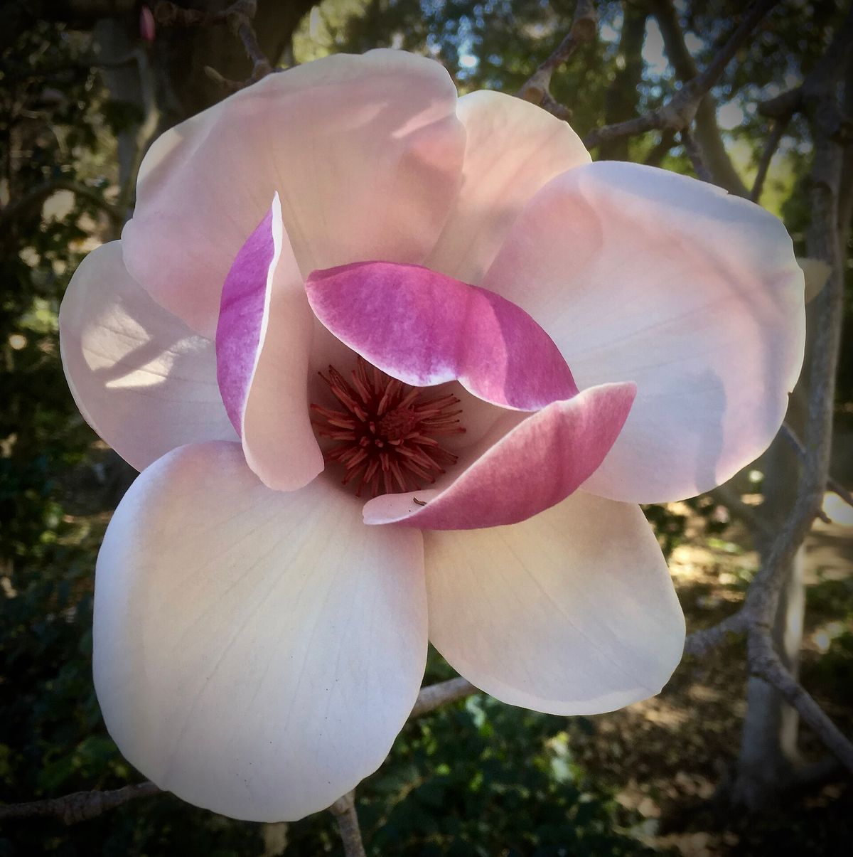
A magnolia in bloom at Gamble Garden — Peter D. Tillman from USA, CC BY-SA 2.0, via Wikimedia Commons
A three-spined stickleback in a tank at the Junior Museum and Zoo — Evan Baldonado, CC BY 4.0, via Wikimedia Commons
The former Main Library, now the Rinconada Library — Bobskol854, CC BY-SA 3.0, via Wikimedia Commons
A Barron Park donkey in its pasture under the trees — Suiren2022, CC BY-SA 4.0, via Wikimedia Commons
Perry, the Barron Park miniature donkey, in 2016 — Gazebo, CC BY-SA 4.0, via Wikimedia Commons
Matadero Creek running beside Bol Park — Dicklyon, CC BY-SA 4.0, via Wikimedia Commons
Donkeys beyond Matadero Creek, seen from Bol Park — Dicklyon, CC BY-SA 4.0, via Wikimedia Commons
The state landmark plaque for Sarah Wallis’s Mayfield Farm — Harry Cutts, CC BY-SA 4.0, via Wikimedia Commons
Water birds on a Baylands channel at dusk, with the hills beyond — King of Hearts, CC BY-SA 4.0, via Wikimedia Commons
The Lucy Evans Baylands Nature Interpretive Center on its pilings over the marsh — King of Hearts, CC BY-SA 3.0, via Wikimedia Commons
The Palo Alto Duck Pond in the Baylands — King of Hearts, CC BY-SA 4.0, via Wikimedia Commons
A path through tall grass at Byxbee Park — Katya Austin katya, CC0, via Wikimedia Commons
Birge Clark’s ship-shaped Sea Scout Building in the Baylands — Don DeBold from San Jose, CA, USA, CC BY 2.0, via Wikimedia Commons
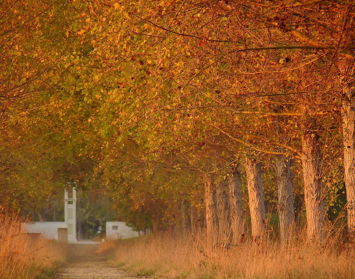
The Baylands in autumn — joiseyshowaa from Freehold, NJ, USA, CC BY-SA 2.0, via Wikimedia Commons
Golden grass and oak-covered hills in Foothills Nature Preserve — Leijurv, CC BY-SA 4.0, via Wikimedia Commons
The nature interpretive center in Foothills Nature Preserve — Leijurv, CC BY-SA 4.0, via Wikimedia Commons
A shady trail under oaks in Foothills Nature Preserve — Leijurv, CC BY-SA 4.0, via Wikimedia Commons
Rolling grassland and oaks in Pearson-Arastradero Preserve — Dicklyon, CC BY-SA 4.0, via Wikimedia Commons
Frenchman’s Tower, the brick tower of 1875 on Old Page Mill Road — Confr, CC BY 3.0, via Wikimedia Commons
Illustrations made with AI for this site (no real people or businesses shown): Redwoods and live oaks over a quiet street of shingled houses in late afternoon light; Hands turning molten glass on a blowpipe in a small studio; A word search, a pencil, coffee, a redwood cone and an oak leaf on a cafe table; An easel and paints in a small art studio.
→
Inquiry
We read everything
LET’S COLLAB. Run a business in Palo Alto? Want to be listed or featured, spotted something to fix, or want to bring Made In to your own town? Tell us.